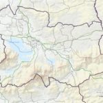
Kerry County Council has launched a new interactive map on its website to help to inform voters about the new local electoral boundaries and local electoral areas which are in place for May’s local authority elections. The boundaries for the local elections in County Kerry have been changed by ministerial order following a report from the Local Electoral Area Boundary Committee last year and the new website allows voters to identify in which Local Electoral Area they reside.
The searchable map, which was launched today by the Cathaoirleach of Kerry County Council, Cllr Norma Foley, is available on the Kerry County Council website at www.kerrycoco.ie.
At the elections on 24 May 2019, voters in Kerry will elect candidates in their respective Local Electoral Areas and these representatives will form the new 33-member council. Up to now, Kerry had four Local Electoral Areas:
- Tralee (9 seats)
- Killarney (8 seats)
- Listowel (7 seats)
- South and West Kerry (9 seats)
For the 2019 election, there will be two new Local Electoral
- Tralee (7 seats)
- Killarney (7 seats)
- Listowel (6 seats)
- Dingle (3 seats)
- Kenmare (6 seats)
- Castleisland (4 seats)
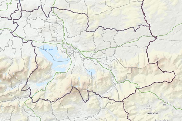
The searchable map shows all of the Electoral Divisions (EDs) which are the local polling districts, for example, Kileentierna, and the Local Electoral Area (LEA) in which it is now located, Castleisland. It will also allow the voter to see which Municipal District they are living in.